


ALA ARCHA NATIONAL PARK
Overview
Trip code: ALR-1
Trip season: Year round
Duration: 1 day
Departures: Please contact us for individual departures.
Meals: 1 Lunch
Transportation: Comfortable a/c vehicle
Group size: Any
Price: 120 USD/Person
Extensions: It is possible to combine your tour with other activities in Kyrgyzstan or extend it to other Central Asian republics: Uzbekistan, Tajikistan, Kazakhstan, Turkmenistan. Please inquire.
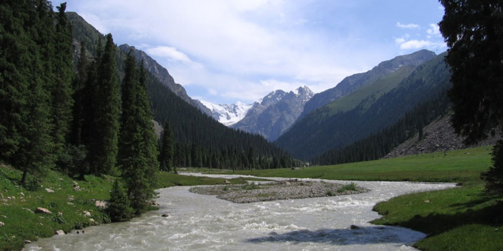
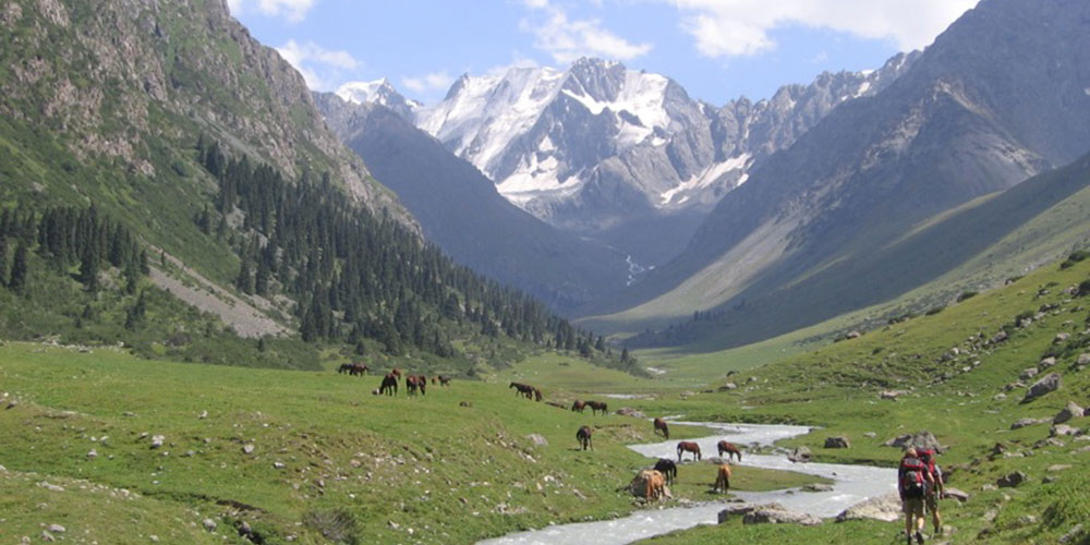
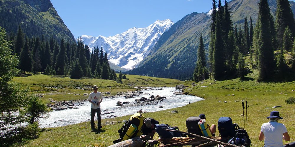
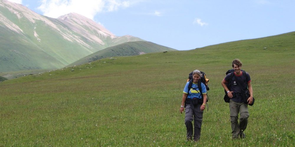
Description: Take a full day hike to Ala Archa National Park founded in 1976 in Ala Archa valley of Kyrgyz range which rises up above Bishkek - Kyrgyzstan's capital. Ala Archa is a popular week end destination for local people who though do not go very high or far and prefer picnincs around parking areas. The hike provides the travelers with some of the most beautiful and picturesque scenery of Ala-Archa Nature Park: snow capped peaks and mountain ranges, fur tree forests and juniper groves, glaciers and mountain lakes. Mountain goats, marmots and golden eagles have their home here and you often can observe them from a distance.
Route: The route begins with a short drive to Ala-Archa valley. The end of the road is "Alplager" - a former camp site for climbers which run down since the soviet union broke up. From here we can follow one of the following routes:
AK-SAI VALLEY
From the main valley the trail goes left to Ak Sai canyon and winds up to Ak-Sai glacier which hosts the region's highest peak Semenova-Tienshanskogo (4837 m). Just a few km up there is a good spot for panoramic shot of Ak-Sai and Ala Archa valleys and Peak Ala-Archa which dominates over the area. We also pass 25 metres waterfall on the way to Ratsek cabin with an amazing landscape on the background. Ak Sai is a well known climbing area with many routes to the peaks of Kyrgyz range.
ALA-ARCHA VALLEY
Follow poor jeep track along the valley. 18 km up is an abolished ski complex which used to be open year round on the slopes of Ala Archa glacier to train soviet olympic teams.
ADYGENE VALLEY
Start at the trailhead near the lower parking area which then goes over the poor bridge up the valley. One of the highlights here is a small climber's cemetery dedicated to whose died in various climbing accidents. The trail continues for another 7 km up through the fur tree forest to Adygene glacier - this is probably less visited area in the whole park with rich wild and bird life.
A few peaks w/o technical challenges over 4000 metres are
acceible from Adygene glacier.
Grade: The tour is full day hiking on foot. Paths are generally in good conditions. Some sections could be steep but not technically difficult. Average walking time is around 5-6 hours. Daily altitude gain is about 800-1000 m. You must be reasonably fit to attempt this hike. Hike graded as "fairly easy" and suits all recreational walkers, hikers and trekkers.
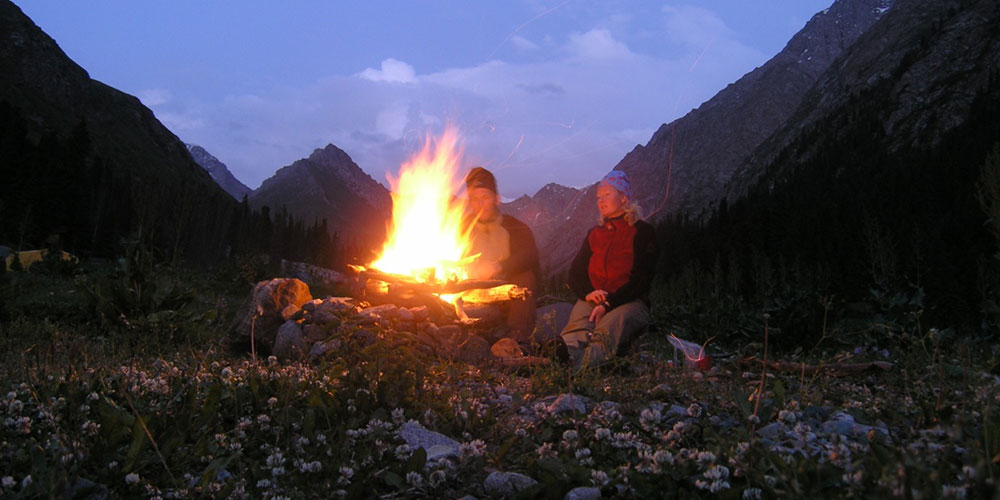
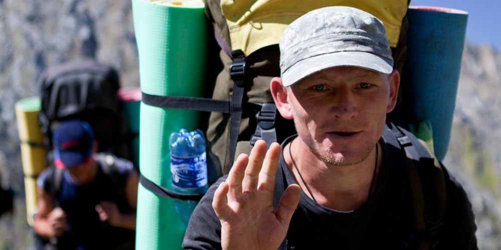
Hike Crew: The hike is assisted by guide.